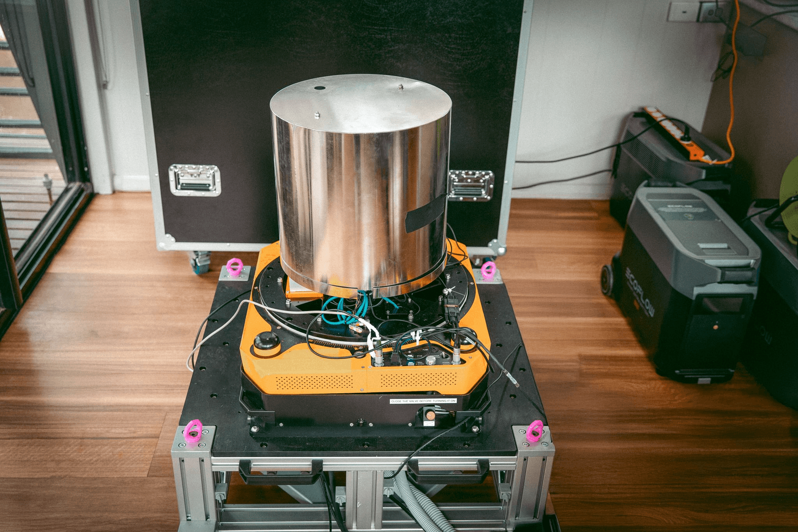
Quantum infrastructure software firm Q-CTRL has announced the world’s first open-water field demonstration of a GPS-free, quantum-gravimetric maritime navigation system. Tested aboard a 29-meter surface vessel in the Coral Sea off Australia’s eastern coast, the company’s Ironstone Opal navigation platform achieved bounded 1-nautical-mile positioning accuracy without satellite signals, outperforming standard navigation-grade inertial backups by more than 10x over an 83-km trajectory.
| [ Q-CTRL Ironstone Opal Quantum GravNav Field Architecture ] | ||
|---|---|---|
| Sensor & Hardware Setup | Software & Signal Processing | Field Trial Performance Metrics |
| • Hybrid Atomic-Classical Gravimeter | • AI Software-Ruggedization Engine | • Bounded 1-Nautical-Mile Accuracy |
| • Strapdown & Gimbaled Deployments | • Passive Gravity Map Matching | • 83 km GNSS-Free Maritime Traversal |
| • Uncontrolled Passenger Cabin Integration | • Real-Time Atom-Referenced Drift Bias Removal | • ~300 m Feature Scale Resolution (50x Satellite Wavelength) |
Passive “GravNav” Protection Against Electronic Warfare
Global navigation satellite systems (GNSS) face increasing vulnerability to electronic warfare, illustrated by real-world incidents such as commercial tankers running aground in the Red Sea after silent GPS spoofing attacks went undetected by bridge crews. With over 978,000 GPS jamming and spoofing incidents recorded globally in Q1 2026 alone, the technology serves both as an unjammable positioning alternative and an early warning system against compromised satellite data. While optical or magnetic (“MagNav”) alternatives encounter operational limits at sea due to ocean water attenuation and vessel speed, gravity-aided navigation (“GravNav”) provides an unjammable, passive positioning signal:
- Atom-Referenced Drift Correction: Inertial Navigation Systems (INS) naturally suffer from unbounded position drift over time. Q-CTRL’s hybrid sensor pairs cold-atom interferometry with classical accelerometers, using the atomic state as an absolute reference to lower long-term sensor bias drift by ~70x compared to unassisted classical accelerometers during a 56-hour stationary baseline test.
- Map Matching Against Satellite Anomaly Data: Operating autonomously without GPS data or external radio broadcasts, the system cross-references locally measured gravity anomalies against broad satellite-derived gravity maps to continuously bound position error.
- Fine-Scale Marine Surveying: In separate GNSS-referenced surveying passes up to Sea State 4, the instrument resolved local gravity anomaly features down to an along-track scale of ~300 meters—50 times finer than the half-power wavelength of standard satellite gravity maps—with sub-mGal repeatability.
Software-Ruggedization and Defense Alliances
Traditional cold-atom gravimeters require active environmental temperature controls, heavy gyroscopic motion-stabilization platforms, and frequent manual recalibrations. Q-CTRL’s implementation relies on software-driven control and AI stabilization algorithms:
- Strapdown Deployment Capability: Installed directly in an unconditioned passenger cabin without specialized motion-stabilization rigs, the AI software stabilized the quantum sensor under open-ocean waves, demonstrating comparable performance between gimbaled and rigid strapdown configurations.
- Defense & Industry Integration: Following 2025 MagNav trials on airborne platforms, the maritime GravNav release expands Q-CTRL’s defense deployment roadmap. The company works directly with defense and security partners including DARPA, the U.S. Defense Innovation Unit (DIU), the Australian Department of Defence, the UK Royal Navy, and Lockheed Martin.
Review the official announcement via Q-CTRL here, and inspect technical methods in the manuscript on arXiv:2608.25563 here.
August 27, 2026

